
 by
by Star Maps of Famous Dates: The Moon Landing, VE Day, New Year 2000
A historical date on a page is abstract. The same date, reconstructed as the actual sky that stood over a specific place at a specific hour, is a real moment: fixed, checkable, and oddly moving in a way the bare fact rarely is. Below are seven famous dates, each rebuilt from a real star catalogue for the place and moment in question.
Every sky here uses the same method described on our accuracy page: the HYG catalogue, positions computed for the exact date, time, and location, valid for any date from 1900 to 2100.
Why reconstruct a sky nobody was looking at
For most of the dates below, nobody present was actually looking up at the stars; they were watching a radio, a television, a crowd, an instrument panel. That is precisely the point. A star map of a historical date is not a claim that the sky was witnessed or noticed at the time; it is a way of anchoring an event to the one physical fact about that night that can still be verified exactly, centuries or decades later, when eyewitness accounts have faded or diverged: the arrangement of the stars themselves, indifferent to what was happening beneath them.
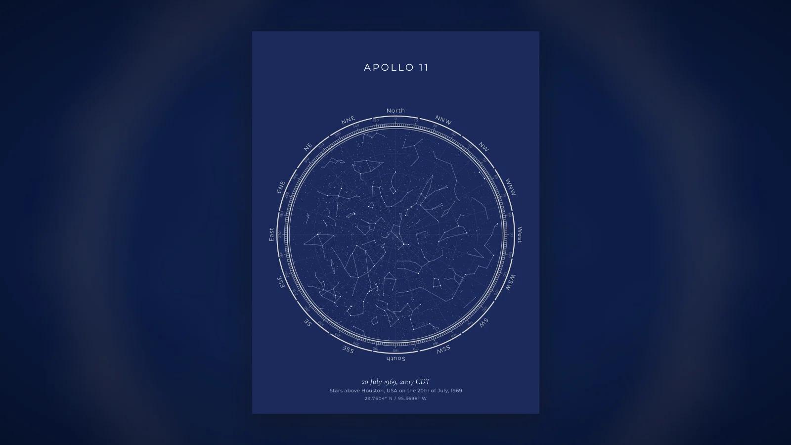
20 July 1969, 20:17 CDT, Houston: the Moon landing
At 20:17 Central Daylight Time, Apollo 11's lunar module touched down on the Moon, while Mission Control in Houston tracked the descent from the ground. The sky over Houston that evening was an ordinary midsummer night: Scorpius and Sagittarius low in the south, the constellation Cygnus rising in the east, nothing about the sky itself remarkable, which is part of what makes the moment land: history was being made under a completely unremarkable Texas summer sky, tracked by people looking at instruments rather than upward.
The more famous image, the lunar surface itself where Armstrong and Aldrin walked roughly six hours later, does not have a conventional "sky" in the sense a star map plots, since a normal Earth-based star map calculates positions relative to a horizon and a place on Earth's surface. What we can plot precisely is the Earth sky over Mission Control, watching it happen.
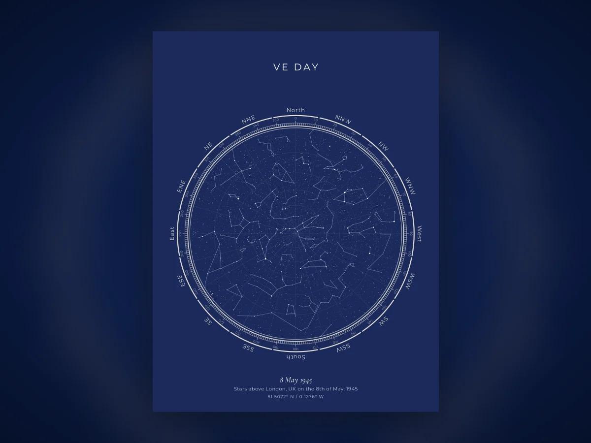
8 May 1945, London: VE Day
As the news of Germany's surrender spread through London on 8 May 1945, crowds filled the streets long into the evening. The sky above the city that night carried Leo and Boötes in the west as the evening advanced, with Vega rising in the northeast, a fittingly bright object for a night widely remembered as one of collective, spontaneous celebration after nearly six years of war.
London in May sits at a latitude where late spring nights do not fully darken until quite late, and the crowds celebrating in Trafalgar Square and along the Mall would have watched a sky only just settling into true darkness as the festivities carried on.
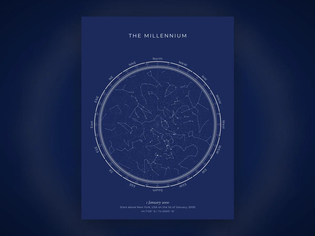
1 January 2000, 00:00, New York: the millennium
At the stroke of midnight in Times Square, as the ball drop marked the year 2000, Orion stood prominent in the southern sky, unmistakable to anyone who looked up between the fireworks. New Year's Eve in the northern hemisphere reliably delivers Orion in this position, since the constellation is a defining feature of the winter sky from mid-northern latitudes, but the particular weight of that specific midnight, amid genuine uncertainty about Y2K computer failures that ultimately did not materialise, gives this sky a specific historical texture worth reconstructing.
14 April 1912, 23:40, North Atlantic: the Titanic
At 23:40 ship's time, RMS Titanic struck the iceberg that would sink it within hours. Survivor accounts consistently describe an unusually clear, calm night with no moon, conditions that made the ship's lights the only illumination on the water and, by several accounts, made the stars themselves unusually vivid. The absence of a moon that night has been noted by historians as a contributing factor: a fuller moon might have made the iceberg visible from a greater distance.
22 November 1963, 12:30 CST, Dallas: a daytime date
Not every famous date lends itself to a star map, and this is a useful reminder why: at 12:30 in the afternoon, the sky over Dealey Plaza in Dallas was simply daytime, with no stars visible at all. A star map is built to reconstruct night skies; for a daytime event, the more meaningful reconstruction is the position of the Sun and the season, not a star chart. It is worth including here as an honest boundary of what this kind of map can and cannot show.
4 July 1776, Philadelphia: outside the supported range
The signing of the Declaration of Independence sits well outside our 1900 to 2100 supported range, and this is deliberate rather than an oversight. Precession, the slow 26,000-year wobble of Earth's axis, and small uncertainties in stellar proper motion accumulate over long timescales, and by 1776 those corrections carry enough uncertainty that we, and most careful makers in this category, do not claim confident accuracy that far back. A map of that night could be attempted, but it would not meet the same bar as the dates above.
9 November 1989, 22:00 CET, Berlin: the Wall comes down
As crowds began crossing freely at Bornholmer Strasse on the evening of 9 November 1989, the sky over Berlin carried Pegasus and Andromeda high overhead, a typical clear autumn arrangement for the city's latitude. The event itself unfolded largely under artificial light and celebration noise rather than any notable astronomical circumstance, but the date remains one people frequently ask about when exploring what a specific historical night looked like.
25 December 1991, 19:32 MSK, Moscow: the Soviet flag comes down
At 19:32 Moscow time on Christmas Day 1991, the Soviet flag was lowered over the Kremlin for the last time, marking the formal end of the Soviet Union. The sky over Moscow that winter evening carried Orion and Taurus prominent in the south, the dependable arrangement of a northern mid-latitude winter night, entirely indifferent to the change in flags happening beneath it. As with several dates on this list, the sky's ordinariness against an extraordinary human event is much of the point of reconstructing it.
12 April 1961, 06:07 UTC, Baikonur: Gagarin's launch
Yuri Gagarin became the first human in space at 06:07 UTC from the Baikonur Cosmodrome, a launch that happened in daylight rather than under a night sky, another useful reminder that not every historic date lends itself to a star chart. The more meaningful astronomical fact about this launch is the number itself: 108 minutes, the duration of the first human orbit, a span of time that can be marked with a star map of the launch site at the moment of liftoff even though the stars themselves were not visible against the morning sky.
What this exercise actually shows
None of these skies are secretly meaningful. Scorpius does not know Apollo 11 landed beneath it; Orion did not organise itself for the millennium. What reconstructing them shows is something more modest and, we think, more useful: history happened under real, physical, checkable skies, at exact times and places, not under a vague symbolic backdrop. Turning a date on a page into a specific arrangement of stars is a small act of making history concrete.
The same method works for a date that matters to you personally rather than to history at large: a birth, a wedding, the night you met someone. The designer draws it free in the browser for any date and place from 1900 to 2100, in designs from navy to galaxy, and the accuracy page explains exactly how, so you can check it yourself rather than take our word for it.
A note on why we chose these particular dates
The dates above were chosen for a mix of recognisability and variety, night events with a genuine star field to reconstruct, daytime events included deliberately as an honest limit, and one date, 1776, included specifically to show where our supported range stops and why. This is not an exhaustive list of history's most significant nights, and readers with their own candidate dates are welcome to try them directly in the designer, which computes the sky for any date and place in range rather than a fixed set of examples.
Frequently asked questions
Can a star map show the sky on a specific historical date?
Yes, for any date and time between 1900 and 2100, since star positions can be computed precisely for a given moment and place using standard astronomical methods, the same calculation used for any custom date. Positions before 1900 become less reliable due to precession and proper-motion corrections, which is why most makers, including us, cap the range there.
What did the sky look like the night of the Moon landing?
Apollo 11 landed on the Moon on 20 July 1969, but the more commonly asked question is what the sky looked like from Mission Control in Houston that evening, since the Moon itself was, naturally, not visible as a normal night sky object from the lunar surface. Houston's sky that evening showed a fairly ordinary July night, with the summer constellations Scorpius and Sagittarius low in the south.
Why do star maps of historical dates matter?
They connect an abstract historical fact to something physically real and checkable: the actual arrangement of stars that stood over a specific place at a specific hour is not an interpretation, it is a calculation, and reconstructing it makes a familiar historical date feel more like a real, particular night rather than a date on a page.
Can I make a star map of a historical event for myself?
Yes, using the same designer as for a personal date: enter the location and the exact time of the event, and the preview draws the sky for that moment free in the browser. Historical dates work exactly like personal ones, provided they fall between 1900 and 2100.
What is the earliest date a star map can show?
Our supported range is 1900 to 2100, a limit shared by most careful makers in this category. Before 1900, corrections for precession and stellar proper motion introduce enough uncertainty that positions are no longer confidently "accurate" in the way we can state for dates inside the range.